
The Lowburn Bridge
Opened in 1938 to replace the heavily used ferry, the Lowburn Bridge was constructed of concrete spans, forming a single-lane structure with an unusual arch. The approaches to the bridge on both sides were ramped with the possible intention of allowing floodwaters to pass around the bridge. The bridge was sited exactly where the ferry had been, with an avenue of trees on the western side leading directly to the nearby Welcome Home Hotel, at a 'T' intersection at the centre of Lowburn. Permanent homes and holiday houses were interspersed among the trees.
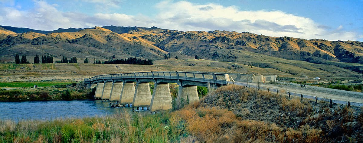
Lowburn Bridge, February 1992, after the trees and buildings were cleared
Prior to the filling of the Dunstan reservoir - in three stages between 1992-93, the Lowburn area was entirely cleared of trees and buildings, but the bridge was left. Before the waters rose a car was parked on the centre span of the bridge, and it still rests there today, submerged in the murky gloom, as a ghostly point of interest for divers.
